A 2-stage approach will be used in the project. The first stage will be based on the use of 4 multi-season Sentinel-2 images, available free of charge within the European Copernicus program and will allow to obtain the mapping for the land cover classes and in particular for the prairie by means of guided classification. from the known examples of truth on the ground. Support Vector Machine classifiers with a per-pixel approach will be considered. The prairie layer obtained will be used to mask all points not recognized as prairie in the data considered as input to the second stage. The latter will have the purpose of extracting the mapping, at a resolution of 10 meters, of the habitats of grassland considering as input an intra-annual time series of spectral indices (GNDVI, MSAVI, NBR) extracted from Sentinel-2 images that allow to integrate the information associated with the entire spectral range. In this way the intra-annual temporal phenological information will be integrated with the multi-spectral one, which will allow the discrimination of the different prairie habitats under study. On certain areas characterized by small and fragmented patches of habitats, the mapping, guided by data, will be perfected through the use of satellite, commercial, very high spatial resolution or drone images. In this case, classifiers with an object-oriented approach based on the GEOBIA classification scheme (Geographic Object Based Image Analysis) will be used, for which the scene is first segmented into spectrally homogeneous objects on which the classification guided by the examples provided is subsequently applied. It will be possible to make assessments with respect to the changes that have taken place over time, thanks to the comparison with possibly pre-existing cartographic products, even if on small areas, or with the maps that it will be possible to produce even annually by correlating these changes to the pressure factors. Specifically, in this proposal, data acquired by the ESA Copernicus Sentinel-2 satellite constellation (high spatial resolution: 10m) together with data acquired by commercial satellites Worldview-3 / Pleiades (very high spatial resolution: <2m) and by drone will be used. The developed methodology will be reproducible on the entire regional scale.
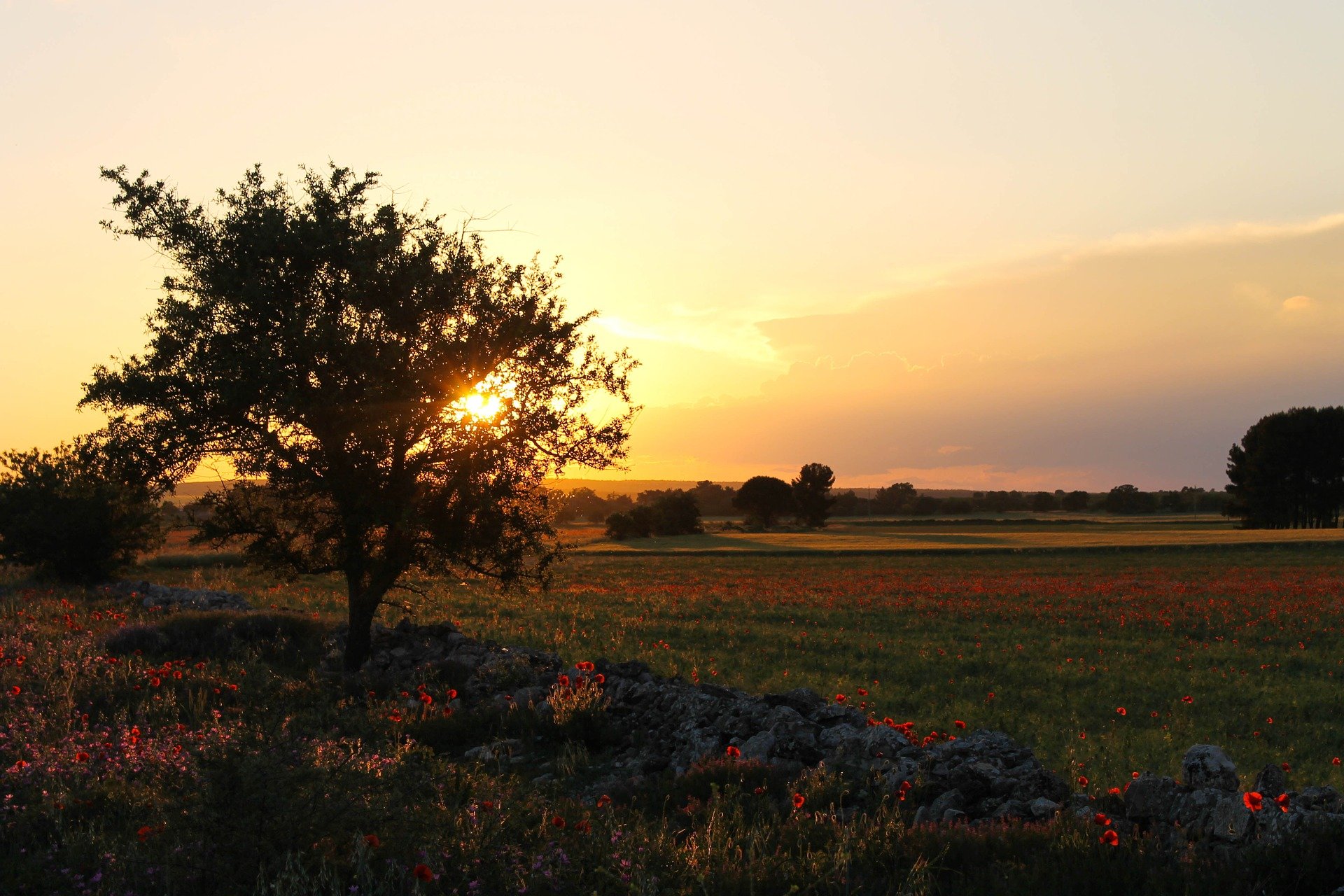
The fundamental objective of the project will be the identification of the grassland habitat classes 6210 (*), 62A0 and 6220 * within the “Murgia Alta” SCI. These habitats of community interest are generally identified and monitored by botanical experts through field inspections and manual mapping attempts from orthophoto photo interpretation. Given the availability of satellite data (Sentinel-2 every 5 days), the cartography can be updated annually, but also after events of particular interest (e.g. large fires) as well as every 6 years, as required by the ISPRA manual, allowing to highlight habitat changes, in terms of extension and conservation status, with high temporal frequency. The methodology developed by the project will offer a tool to local decision makers to comply with the monitoring, protection and conservation actions of these environments.

